Gov’t: Depapre Port in Papua to Serve as Eastern Hub


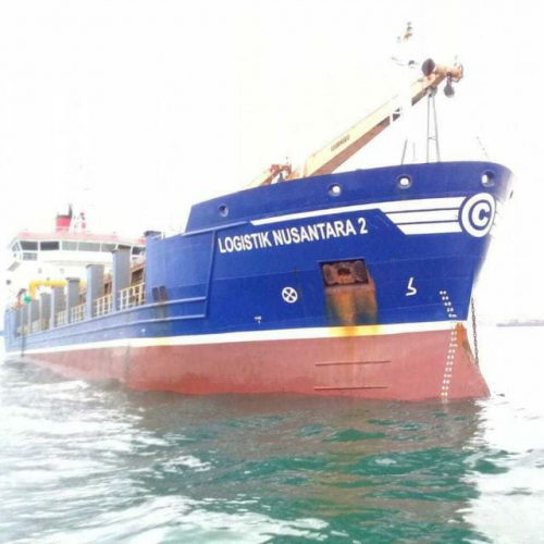
Photo by: dephup.go.id
Minister of Transportation Budi Karya Sumadi stated that Depapre port, a seaport for container ships and pioneer passenger ships in Jayapura regency of Papua province, will serve as a hub for the eastern part of Indonesia.
For this reason, preparations must be made to optimize the port performance.
“We hope that all stakeholders, from ministries/institutions, regional governments, and other related elements, will jointly play an active role and collaborate in efforts to improve the performance of the Depapre Port,” the Minister virtually said in an FGD to discuss acceleration strategy to develop Depapre Port, Tuesday (01/11).
Since early 2021, the Depapre Port has served new sea toll routes connecting Papua and West Papua regions. The Minister also said that currently, efforts need to be made to increase return cargo from east to west.
“Papua has many commodity potentials ranging from fish, seaweed, wood, and so on. With efforts, it will provide economic benefits for the Papuan people and can also optimize the performance of sea toll ships because there will be no empty cargo ships,” he said.
The Minister also stated that Jayapura regency as the center of development in Papua is currently drawing national and world attention. This is indicated by the construction of several infrastructures such as the magnificent and international standard Lukas Enembe Stadium as well as Sentani Airport in Jayapura which has been developed into an international airport.
“In the future, Depapre Port will become the main port which is expected to stimulate the economy in Jayapura regency and its surroundings,” he added.
The development of the port on land and sea has been carried out by the Ministry from 2015 to 2020, with a State Budget allocation of around Rp.175 billion. Land acquisition has been carried out in stages from 2007 to 2013 with a land area of 24.83 hectares out of a total of 74 hectares of the required land. Reclamation work has also been carried out with an area of about 15.67 hectares.
In accordance with the master plan for national ports (RIPN), this port will continue to be developed, among others by building the Sentani Depapre road as an access road to the port. For the record, the port is also ideally located. It is located in Tanah Merah Bay facing directly to the Pacific Ocean which will make the port a gateway for international trade, especially in the Asia Pacific region. (PR of Ministry of Transportation/UN) (FI/LW)