Gov’t Issues Regulation to Control Agricultural Land Conversion


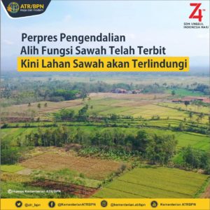 The rate of conversion of agricultural land to non-agricultural land is increasing. In order to control the land conversion, the Government has issued Presidential Regulation Number 59 of 2019 on Controlling the Agricultural Land Conversion.
“The Presidential Regulation will be the legal basis for controlling Agricultural land conversion,” Director General of Spatial Use and Land Control (PPPRT) Budi Situmorang said on Tuesday (10/9) in Bandung, during the opening of Meeting on Clarification of Agricultural Land Verification in Relation to Land Data in West Java Province.
Budi added that the meeting with regional governments aims to discuss and seek agreement on the size of Agricultural land that is needed to be protected. The results of the meeting will be used by the Integrated Team to synchronize and determine the Protected Agricultural Land Map by the Minister of Agrarian and Spatial Planning/Head of the National Land Agency (BPN).
The aforementioned map will be integrated with Regional Spatial Planning of each Regency/Municipality as part of the Sustainable Food Agricultural Land (LP2B).
The Ministry of Agrarian and Spatial Planning/Head of the National Land Agency (BPN)/the Directorate General of PPRPT will carry out monitoring and control of the land use conversion that has been determined on the Protected Agricultural Land Map.
“With this Protected Agricultural Land Map, regional governments are expected to immediately determine the LP2B and spatial data in their respective Regencies/Municipalities, in accordance with Law Number 41 of 2009 on Protection of Sustainable Food Agricultural Land and Government Regulations derived from it,” Budi said, adding that Law Number 41 of 2009 has been enacted for 10 years but only a few regions have set LP2B with spatial data. The Presidential Regulation on the Protected Agricultural Land Map is expected to encourage the regional governments to accelerate the completion of LP2B.
Directorate General of PPRPT, Budi added, has verified the Agricultural Land in relation to Land Data in eight Provinces and 151 Regencies/Municipalities with a high rice production rate in Indonesia. This verification was carried out to identify agricultural land in relation to land data and identify factors that can reduce or increase the agricultural land.
He went on to say that the verification results show several licenses that have caused the land conversion, the National Strategic Project that use agricultural land, and the allocation of wetlands and LP2B allocations in the Regional Spatial Plan.
“The support of regional governments in protecting agricultural land is very pivotal in the completing of Protected Agricultural Land Map,” Budi concluded.
Translated by: Ridwan Ibadurrohman
Edited by: Mia Medyana