President Prabowo, Agrarian Affairs Minister Meet to Discuss Land Administration


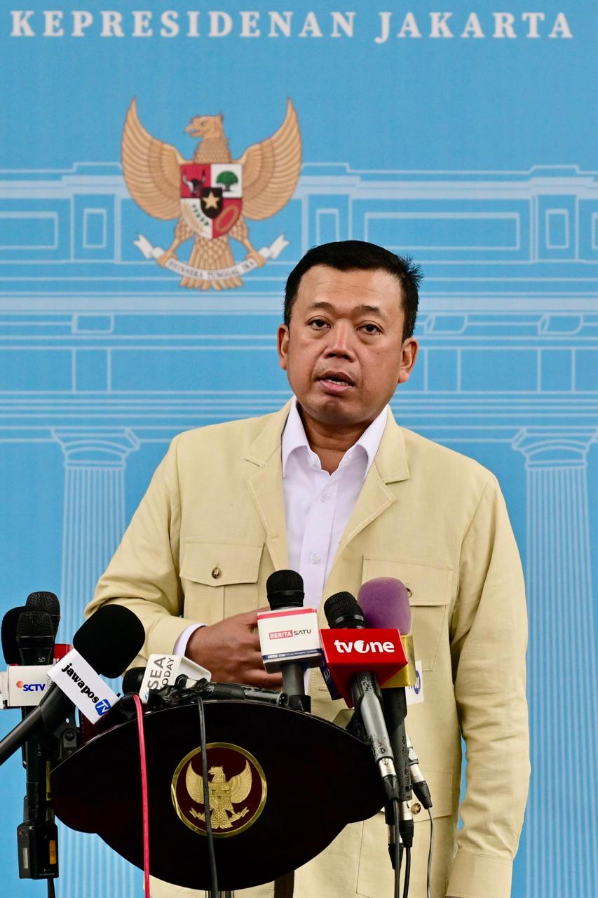
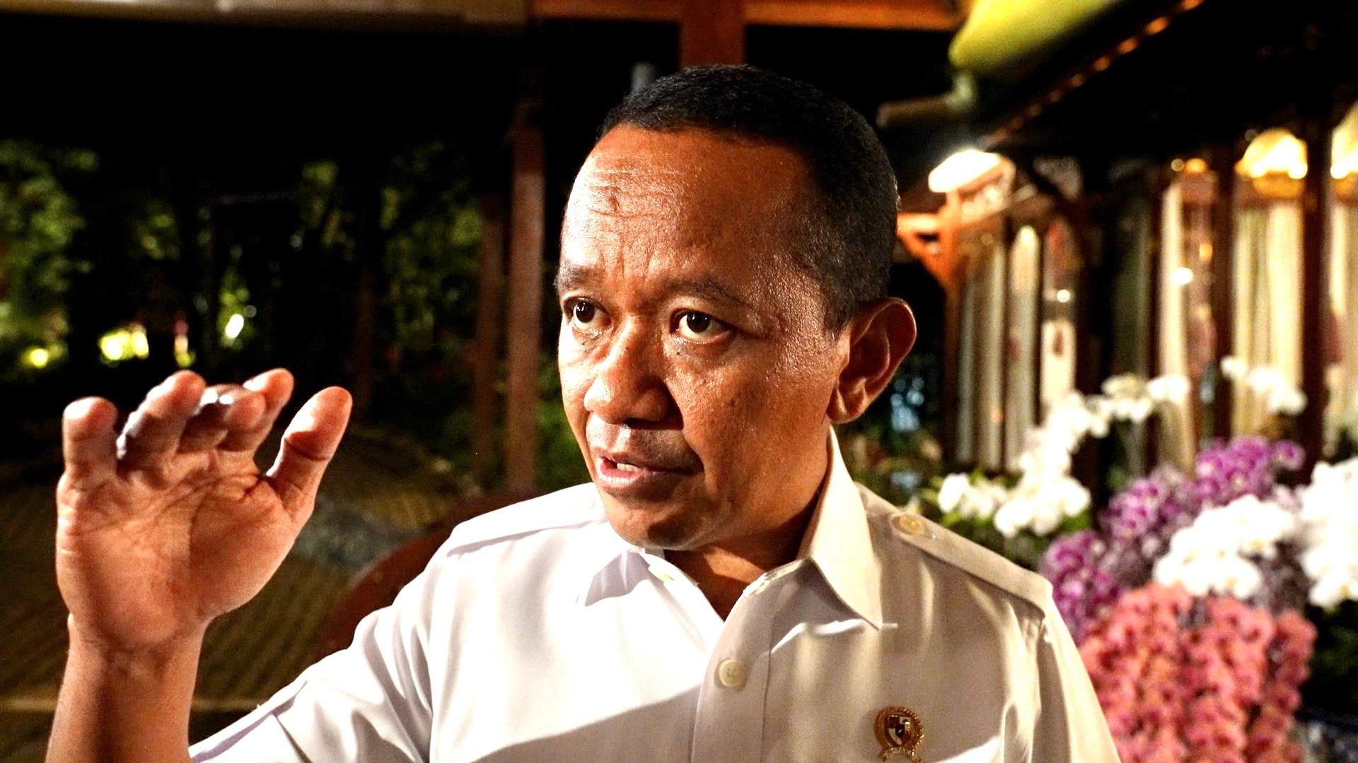
Minister of Agrarian Affairs and Spatial Planning/Head of the National Land Agency (ATR/BPN) Nusron Wahid delivers his press statement after meeting with President Prabowo at the Merdeka Palace, Jakarta, on Monday (02/17). (Photo by: BPMI of Presidential Secretariat)
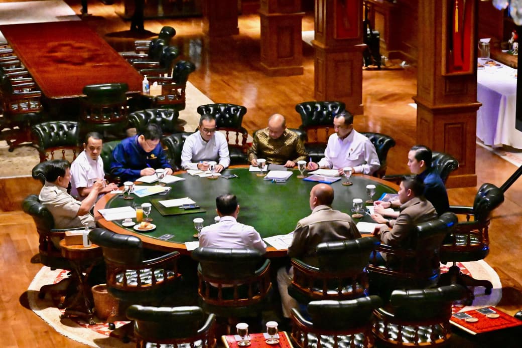
President Prabowo Subianto met with Minister of Agrarian Affairs and Spatial Planning/Head of the National Land Agency (ATR/BPN) Nusron Wahid at the Merdeka Palace, Jakarta, on Monday (02/17).
The Minister stated that he reported several strategic issues, such as developing the procedures for granting the rights to cultivate (HGU) for oil palm plantations and resolving land disputes in several regions.
“It’s a regular report from a president aide to the President, discussing matters related to agrarian affairs and spatial planning, especially those related to the development of the procedures for granting the rights to land, specifically the rights to cultivate for oil palm plantations in Indonesia,” Nusron said.
The meeting also discussed the alleged misuse of land certificates in Bekasi and Tangerang areas, which is related to the “sea fence” case. The Minister ensured all data related to the case had been submitted and an investigation had been underway.
“We have submitted all the data for Tangerang and Bekasi. The investigation of our officers in Bekasi has also been completed. Maybe tomorrow or the day after tomorrow, I will announce the dismissal of several people in Bekasi,” he said.
In Tangerang, Nusron added, as many as 193 certificates issued over the sea have been voluntarily canceled by the certificate holders. As for the modus operandi on shifting land plot maps to over the sea, Nusron stated that the act was committed by individuals at the lower level.
According to him, initially, there were 89 land certificates owned by 84 people with a total area of 11.6 hectares. After the application of the Land Identification Number (NIB), the 89 land certificates were moved from land to sea and owned by 11 certificate holders with a total area of 79.6 hectares, one of whom was a local village head.
In addition, the meeting also addressed the overlapping ownership for rights of ownership (SHM) due to past land administration errors. According to the Minister, many certificates issued from 1960 to 1987 were without clear land maps, resulting in today’s mishap. (BPMI of Presidential Secretariat/ABD) (FI/MUR)